Featured Works
Recently Uploaded
-
Title
Integrating Monitoring and Optimization Modeling to Inform Flow Decisions for Chinook Salmon Smolts
Creator: Wohner, Patti J., Duarte, Adam, Wikert, John, Cavallo, Brad, Zeug, Steven C.
Subject: no subjects specified
-
Title
A Comprehensive Multi-state Conditional Occupancy Model for Evaluating Interactions of Non-Native and Native Species
Creator: Wohner, Patti J., Scheerer, Paul D., Meeuwig, Michael H., Peterson, James T.
Subject: no subjects specified
-
Title
Evaluating Streamflow and Temperature Effects on Bull Trout Migration and Survival with Linear Spatial Capture–Recapture Models
Creator: Wohner, Patti J., Thurow, Russel F., Peterson, James T.
Subject: no subjects specified
-
Title
Unveiling Climatic Niches for Deeper Insights into Invasion Potential and Enhanced Distribution Models of Freshwater Fishes
Creator: Jan, Arif, Giannico, Guillermo, Arismendi, Ivan, Fitcroft, Rebecca
Subject: no subjects specified
Featured Researcher
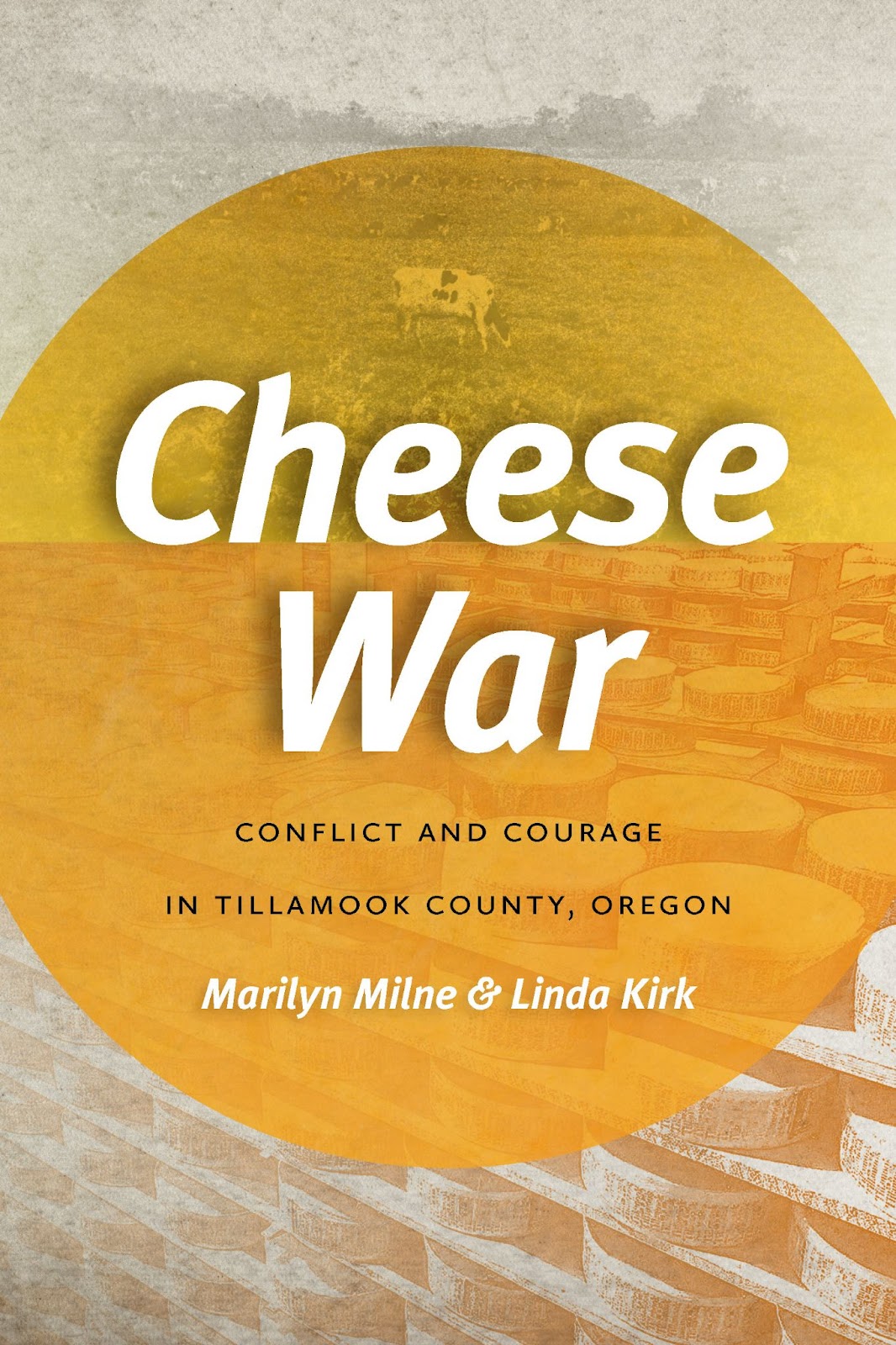
Twenty OSU Press new releases are now available for the OSU community on ScholarsArchive. Titles include Cheese War: Conflict and Courage in Tillamook County, Oregon by sisters Marilyn Milne and Linda Kirk and Dead Wood: The Afterlife of Trees by Ellen Wohl.
You can see other OSU Press titles on ScholarsArchive here.

More information about the OSU Press is available on the Press website.